 Community
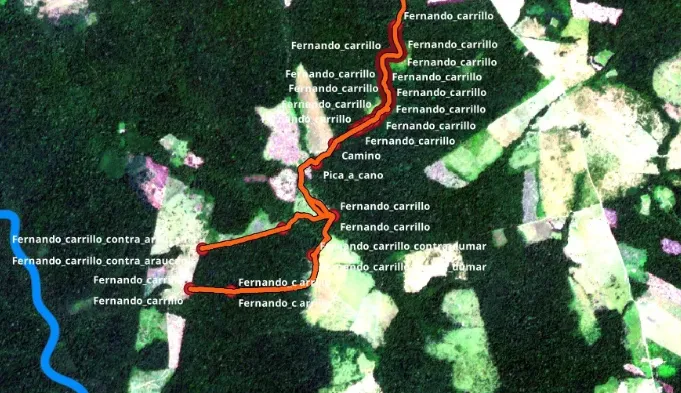
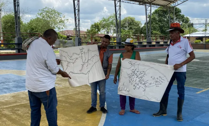
FPIC and social mapping
Structured engagement with local communities to document priorities, roles, and participation pathways.
Defending one of Colombia's most threatened forest frontiers through local stewardship, high-integrity carbon finance, and direct community engagement.
In pre-validation phase, with signed landowner agreements, monthly field expeditions, and systematic monitoring protocols preparing for third-party verification.
Located in Mapiripán, where cattle ranching and agricultural expansion threaten one of Colombia's highest deforestation zones, the Piri REDD project combines community-led governance with rigorous carbon methodology.
Working directly with local landholders, Forestbase and its implementation partner are building a credible REDD+ program that protects standing forest, creates sustainable livelihoods, and delivers verified carbon credits.
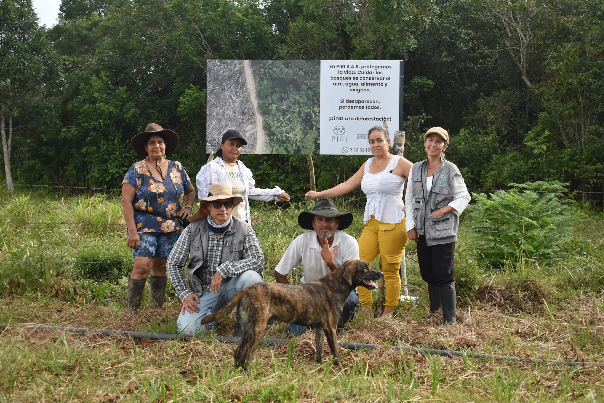
From initial community engagement to carbon calculations, each phase represents our commitment to transparent, community-driven conservation.
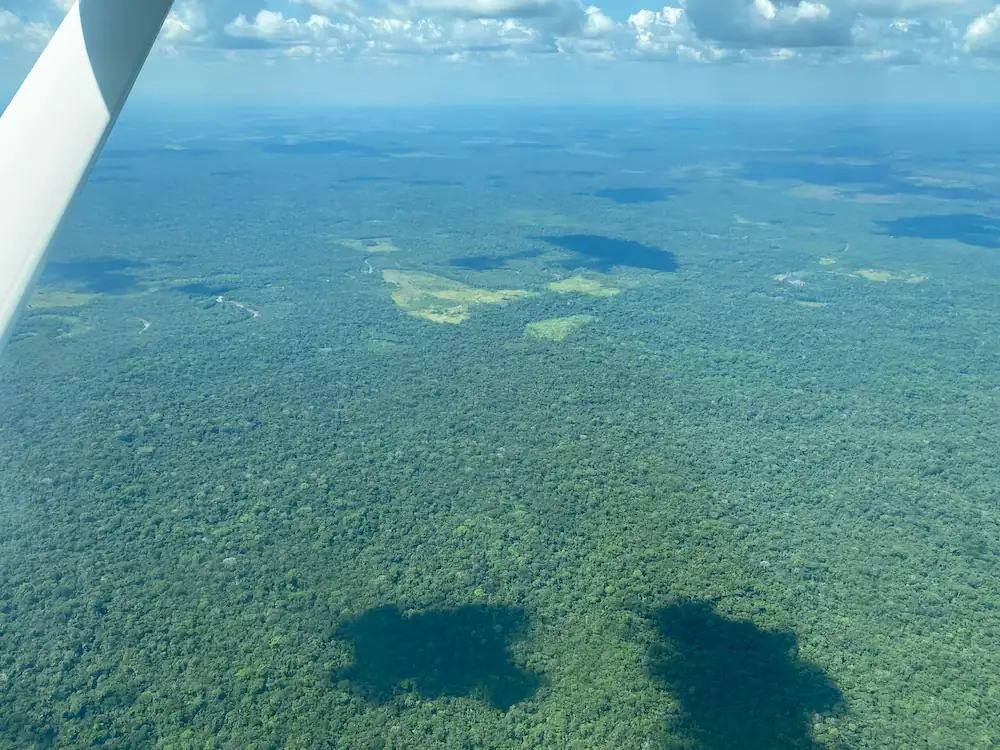
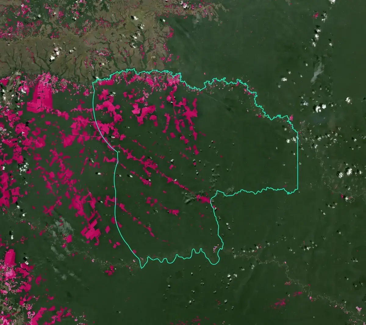
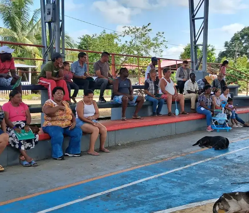
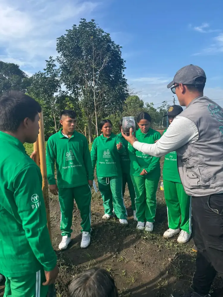
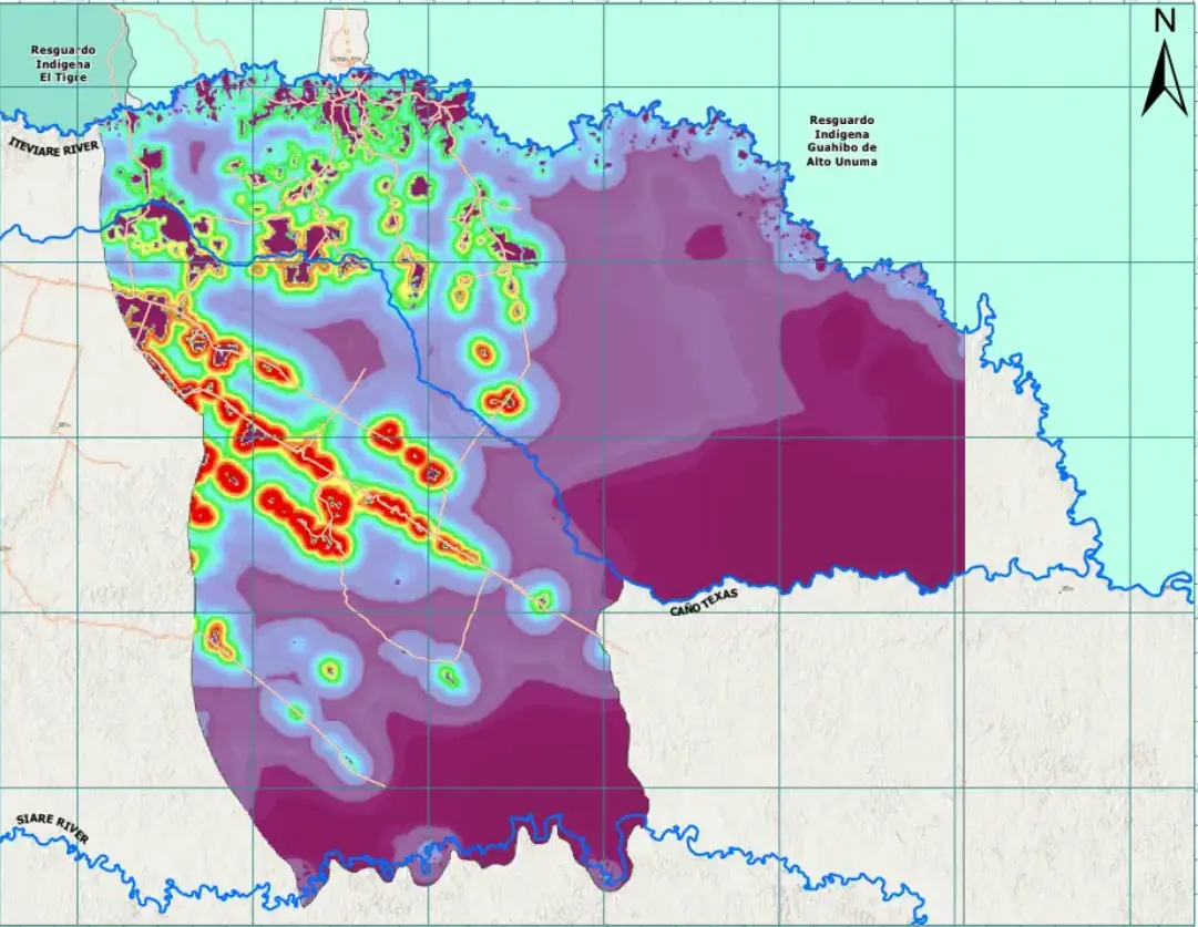
Every activity in the field generates traceable operational evidence, from community workshops and biodiversity monitoring to restoration pilots and governance processes
CommunityStructured engagement with local communities to document priorities, roles, and participation pathways.
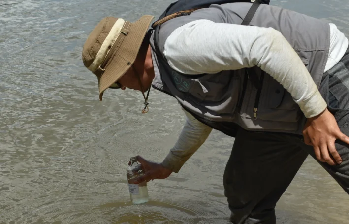
Field-level evidence collection and practical engagement around local environmental and social needs.
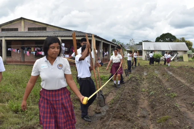
Environmental education and youth engagement connected to long-term local stewardship.
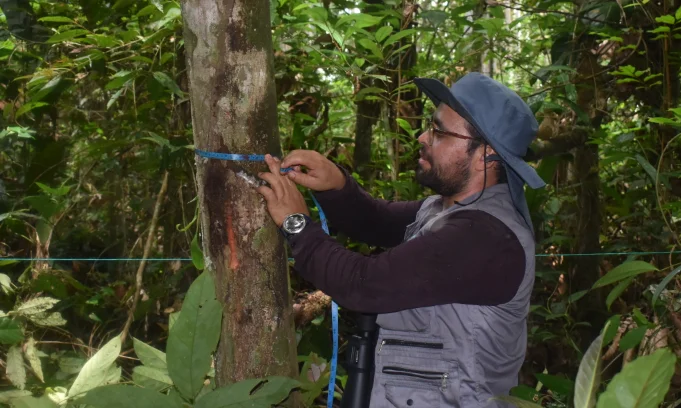
Field measurements and ecological data collection to support project design and monitoring systems.
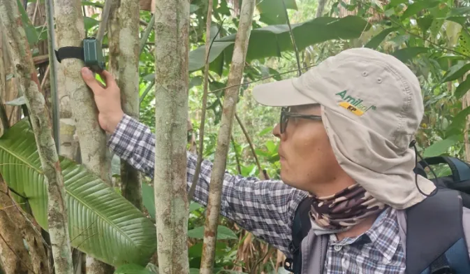
Acoustic sensors, field observations, and species-level indicators to track ecosystem value.
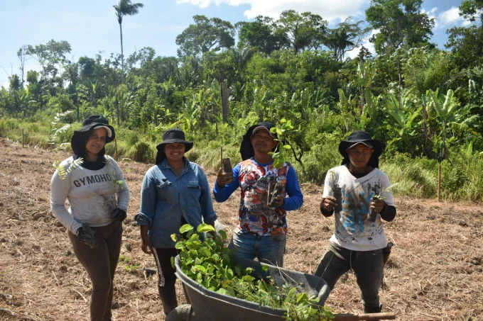 Restoration
Native restoration pilots used to test logistics, survival, maintenance, and future scale-up readiness.
Local participants trained to support boundary delimitation, field data collection, and paid project work.
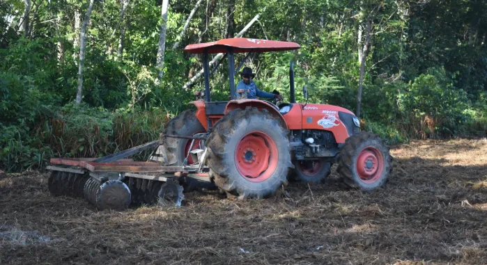 Capacity
Project activities create practical work streams in monitoring, restoration, logistics, and community coordination.
Every phase builds on the last — from first community dialogue to first issuance.
12 communities engaged, 200+ participants, FPIC process completed, ecological baselines established across 2,400 ha.
100 forest measurement plots established, VM0048 carbon methodology applied, GPS boundary delimitation completed with locally trained participants.
Project Design Document preparation, monitoring system implementation, awaiting Verra Risk Map to finalise technical components under VM0048.
Third-party Validation and Verification Body (VVB) reviews the Project Design Document and conducts an independent site assessment.
Subject to successful validation and verification, first carbon credits issued under the Verified Carbon Standard. Participant revenue distributions begin.
VM0048 is a jurisdictionally aligned REDD+ framework designed for landscapes facing active deforestation pressure. By combining risk mapping, conservative carbon accounting, and advanced monitoring requirements, the methodology aims to produce credits with stronger environmental integrity and transparency.
The framework allocates more credits to areas where independently modeled deforestation risk is higher, directing carbon finance toward forests under real and immediate pressure. This strengthens the link between carbon issuance and measurable avoided emissions on the ground.
VM0048 also introduces stricter monitoring, leakage controls, uncertainty deductions, and independent third-party verification supported by satellite analysis and field validation.
Read the methodology →Credits are allocated based on independently modeled regional deforestation risk.
Methodology applies discount factors to ensure emission reductions are not overstated.
Credits only issued for reductions that would not have occurred without the project.
FPIC, benefit-sharing requirements, and grievance mechanisms are built into the standard.
Participants enter into a cooperation agreement that defines their role in the project, while retaining ownership and possession of their land.
Participants commit to protect forest areas, contribute to reducing deforestation, and participate in project activities, monitoring, and coordination.
Participants provide agreed access for monitoring and verification, and supply relevant information for project development.
Participants avoid parallel carbon agreements on the same land and participate in project governance and decision-making processes.
We build projects around local governance, where communities protect their forests and earn through a direct share of project revenues.
At baseline performance, participants receive 50% of net revenues from the sale of carbon credits.
If performance improves beyond expectations, the participant share can increase up to 90% on additional performance.
Forest protection is monitored through satellite-based tracking and on-the-ground verification, including locally trained participants.
For further details on project structure, development progress, or carbon credit availability, contact Forestbase.