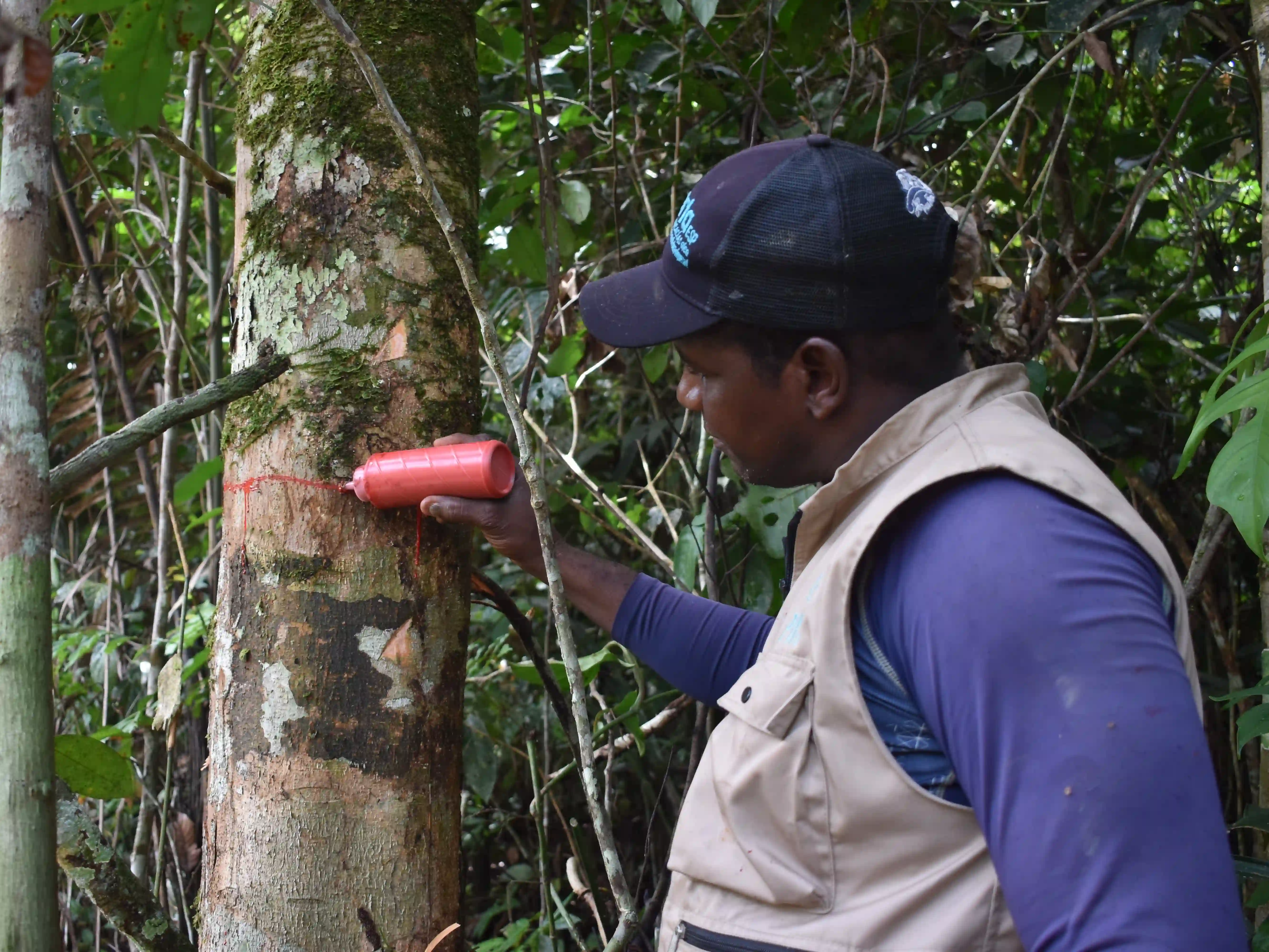
The nature of this project is carbon; we communicate in tonnes CO2 and therefore how we measure tonnes of CO2 is very important. One of the most important things is measuring the actual trees standing in our project. There are many different ways to measure carbon dioxide. Recently, a lot of companies are pushing for the most modern techniques backed by AI, some companies suggest you don’t even have to go to your forest. But interaction with the land and the community is important for Forestbase. Our piloting forest inventory consisted of 0.1 ha plots where all trees with a breast height greater than 10 cm were identified and measured.
Boots on the ground
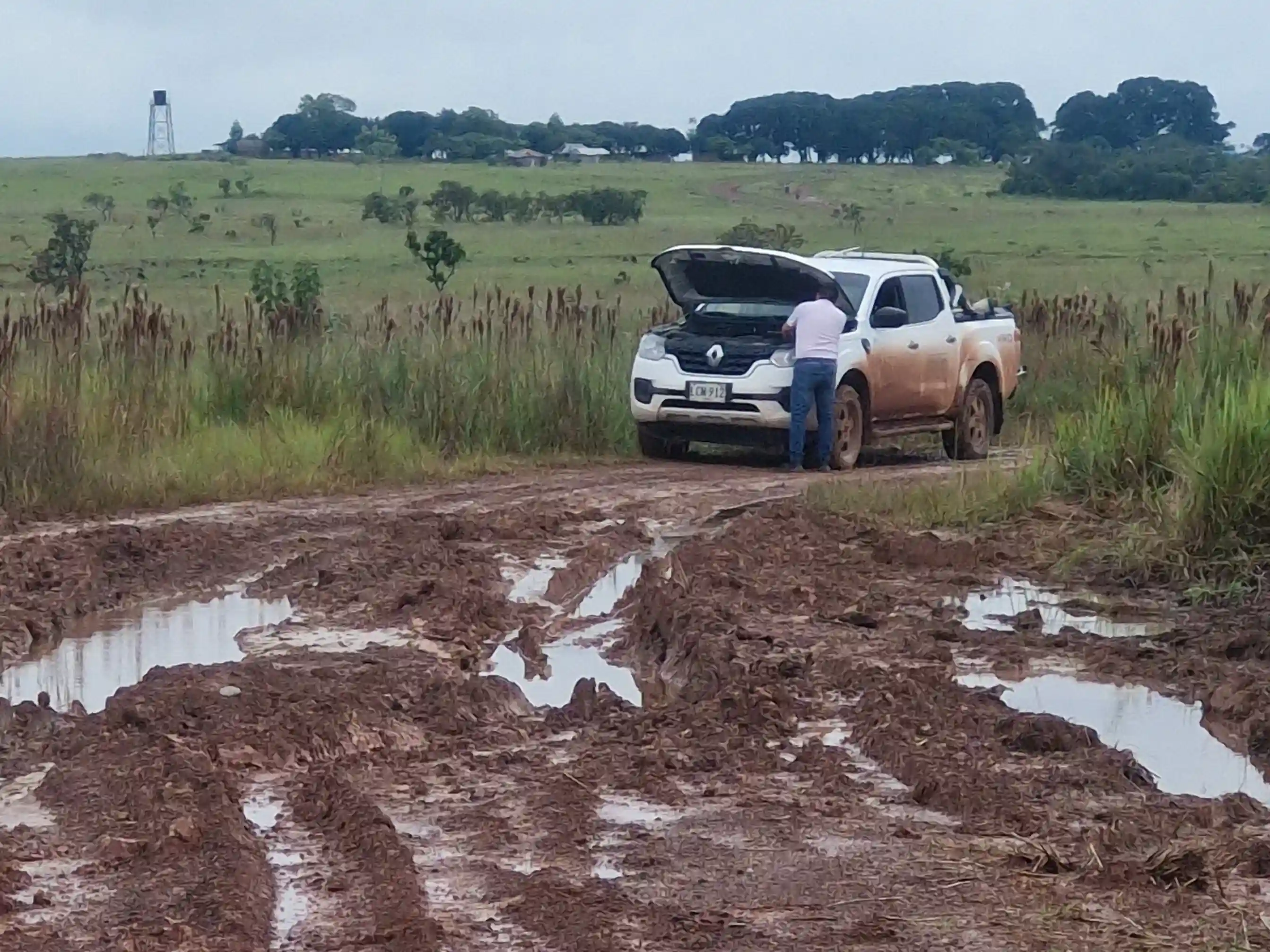
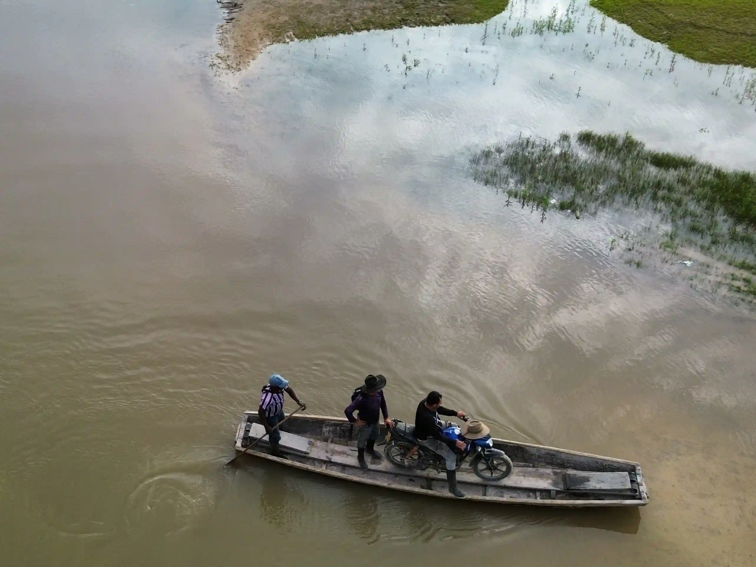
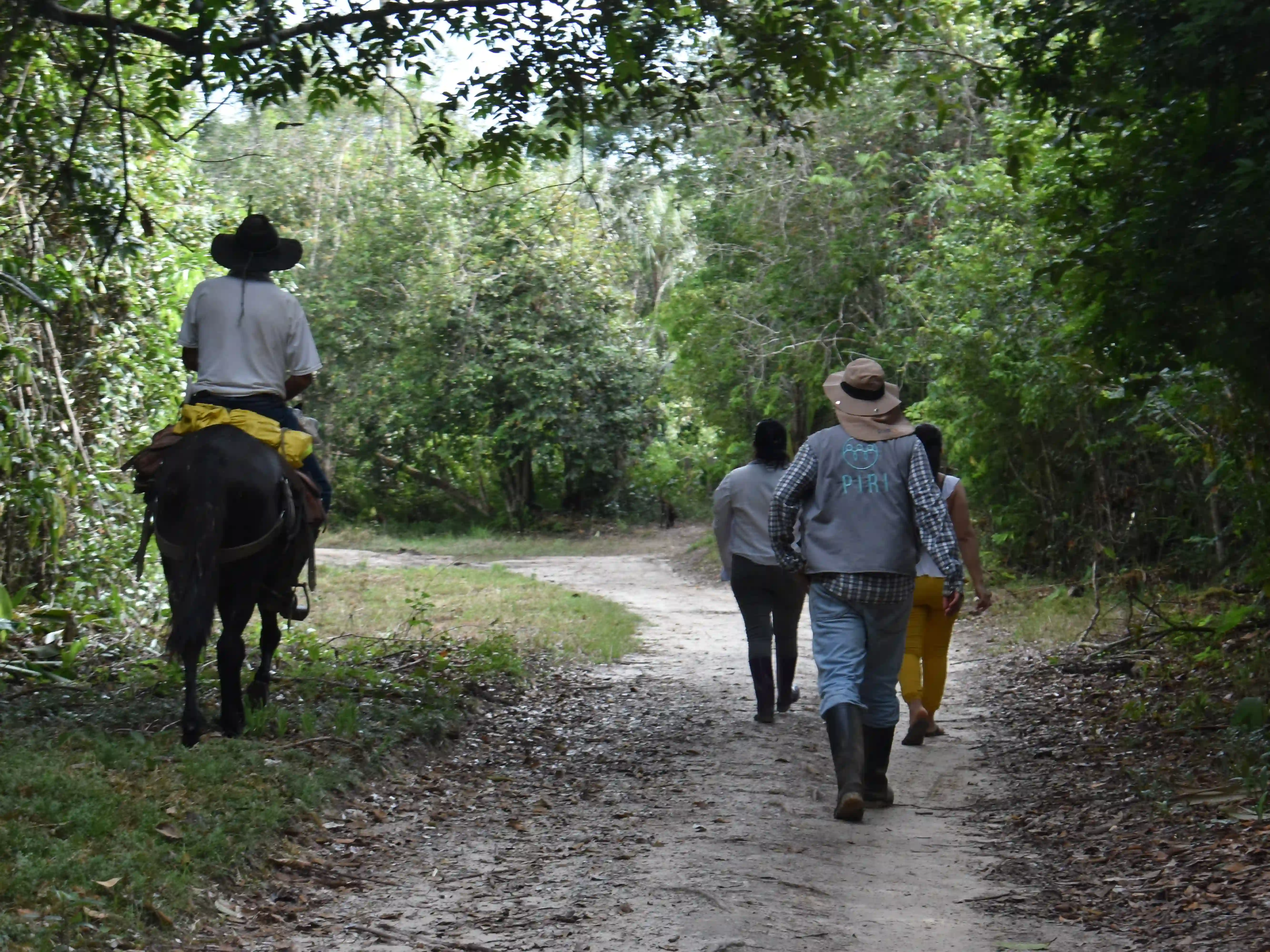
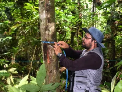
A forest inventory is not desk work, it’s physically hard, human work carried out in real conditions. Reaching sampling locations can require long travel days, changing weather windows, and careful navigation through terrain where equipment, time, and energy are always limited. In this context, consistency matters: the value of the dataset depends on collecting the same measurements the same way, even under pressure. That is why we pair fieldwork with training and quality control. Team members are aligned on protocols before entering the forest, measurements are checked in the field to reduce error, and records are reviewed to ensure data is complete and comparable across sites. Beyond the numbers, this approach also builds local capacity, strengthens practical skills, reinforces shared routines, and builds long-term ownership of monitoring, so the system can be maintained and improved over time.
Design of the inventory
At this stage in the project, the inventory needs to be realistic to carry out in the field yet statistically robust enough to build upon. Factors such as access, travel time an operational limitations influence what can be measured consistently and reliably. While a larger and more complete inventory would always be preferable, a protocol that can be repeated over time is ultimately more valuable than a one-time effort that cannot be repeated or expanded.
We used a random sampling design to reduce selection bias and make the dataset representative of the wider forest. Trees with a diameter at breast height (DBH) above 10 cm were measured. Alongside structure, we also recorded species information where possible, because species composition provides critical context on forest condition and resilience that structure alone can’t capture, and it strengthens how we track biodiversity outcomes over time.
The diameter at breast height (DBH) is a widely used threshold that captures the main components of forest structure while keeping data collection efficient and robust.
Sneak peek into the results
Early results from our forest inventory already provide a clear snapshot of forest condition and recovery dynamics. Across randomly distributed 0.1 ha plots, our team recorded 595 trees (≥10 cm DBH) representing 79 species, 63 genera, and 32 botanical families, giving us a solid first view of species composition and structure.
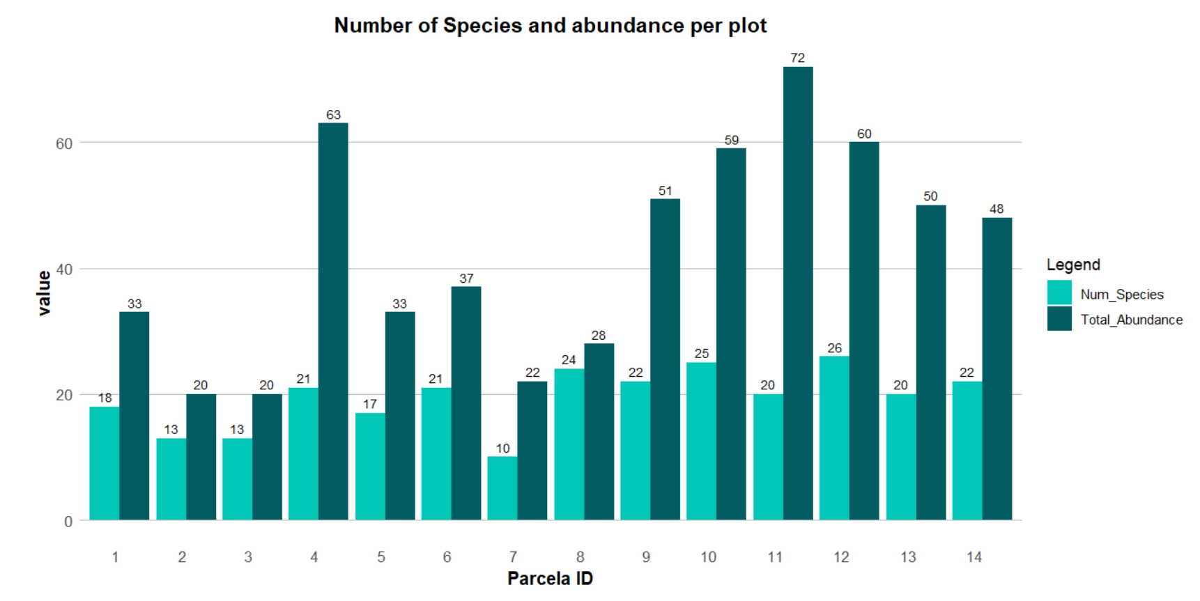
Most recorded stems (around 88%) fall within the 10–37 cm diameter range, suggesting relatively uniform stand conditions and a forest that is actively regenerating after past disturbance. Height measurements tell a similar story: the average tree height recorded so far is 14 m (with values ranging from 5 to 35 m), which is consistent with predominantly secondary forest rather than mature primary forest. Even at this stage, the dataset highlights both diversity and complexity, capturing large individuals, documenting key biomass contributors, and identifying potential seed-producing trees and seedbeds that can support long-term natural regeneration. As we expand sampling into additional plots, these insights will become more representative of the wider forest and strengthen our ability to track change over time.
Takeaway
This expedition laid the groundwork for understanding the real carbon potential of our forest. Rather than relying only on remote estimates, we invested in field measurements, local participation, and repeatable monitoring protocols that can grow stronger over time.
The inventory already provides a first snapshot of forest structure, biodiversity, and recovery dynamics, but its long-term value goes beyond these early numbers. Eventually, this dataset will be combined with the Colombian national forest inventory and Verra-aligned risk mapping to estimate tonnes of CO₂ per hectare across the project area. By grounding these estimates in field data and recognized reference datasets, we strengthen both the credibility of our carbon calculations and the long-term integrity of the project.